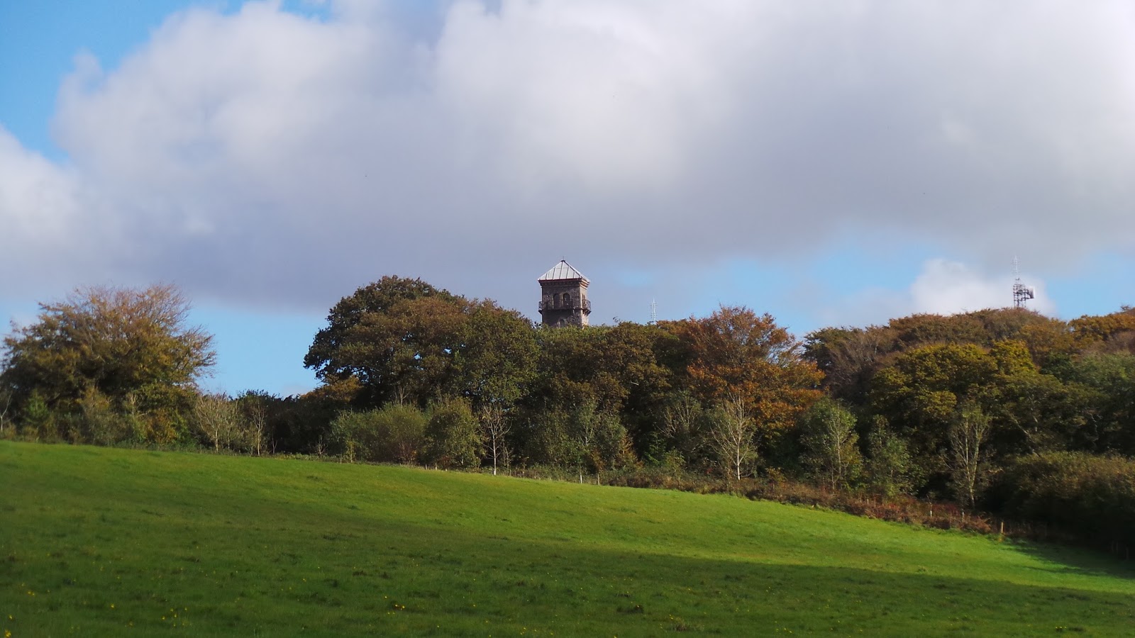
This was our first Chester walk in Somerset. The South West isn't exactly famous for Roman settlements and Ilchester is one of the 'big three', which includes two other Chesters we've already visited,
Exeter and
Dorchester. It's hard to believe that this little village in South Somerset was once a major Roman town and, for a while, in medieval times, the capital of Somerset. Somerset itself is quintessentially English - posh schools, rolling hills, abbeys, floodplains, cheese and tacky seaside resorts!
As we do more of these Chester walks, we're starting to see a bigger picture emerge that somehow connects different parts of England together. For example, Ilchester lies on an ancient Roman road called the Fosse Way, which links Exeter to Lincoln and also passes through
Leicester, where we walked in November 2012. Ilchester is linked to Dorchester, not by a road, but by a shared history, as the two main capitals of the Celtic
Durotriges tribe. It sometimes feels like a big historical jigsaw piece falling into place.
Transport, Lodging and victuals
Our trip to Ilchester started in the rather insalubrious setting of Hammersmith bus station! We generally get the train to whichever Chester we're visiting but, oddly enough, it was more convenient to get a bus this time, the delightful
Berry's coaches, which dropped us right in Ilchester village.
 |
| Road into Ilchester village |
Coming from Ireland, I'm much more used to coach travel than train travel (actually, my home county, Donegal, no longer has a train service, so I first saw a train when I went on a school trip in my last year at Primary school!). I'm also used to having a range of private companies, which often offer more competitive rates than the national/state provider. Berry's coaches was my first experience of private coach travel in England and I have to say it was very comfortable and convenient. It's a shame that travel is so dominated by the bigger companies who often charge us a small fortune for the journeys we make.
We were also very lucky with our choice of accommodation, the wonderful
Liongate House B&B, just across the River Yeo, run by Liz and Graeme, a retired couple who are originally from Surrey. They do a mean breakfast and provide a great welcome in their lovely converted barn house. We had a pleasant dinner at the Ilchester Arms, as we had a glass of wine and caught up on the events in our lives.
Ilchester to Limington (1.2 miles/2 kilometres)
For various reasons, I'm writing this blog post a few weeks after we did the walk, so we actually did this walk at the beginning of April and the weather was incredibly gloomy and reminded me of previous walks we did at this time of the year in
Shropshire and
Worcestershire. I'd just come down with a cold that weekend, so the name 'Ilchester' seemed particularly apt, as that was exactly how I was feeling!
 |
| Ilchester Market place |
 |
| Ilchester High Street |
It was raining lightly as we walked down Church Street towards St Mary Major, then backtracked along Free Street, before heading out into the fields to the east of the village. We followed part of the Monarch's Way for our Ilchester walk. The Monarch's way is a 615 mile long-distance footpath, which runs from Worcester to Shoreham (just outside Brighton) and seems to zig-zag rather erratically through Somerset, as though the Monarch wasn't quite sure which direction he should be going in.
 |
| St Mary's Major, Ilchester |
 |
| Marker showing the Monarch's Way |
The Monarch in question was, of course, Charles II, who was fleeing Cromwell's army and eventually made his way to his Mummy in Paris. We could feel his despondency, as we set off in the rain, trudging through the mud until we got to the little village of Limington. Our route passed quite close to the village of Yeovilton, which is home to a major Navy air base and the military connection wasn't lost on us, as it's not the first time we've passed a modern military site which is built near an old Roman settlement!
Limington to Ashington (0.8 miles/1.3 kilometres)
Limington is a pretty little village in the
Hundred of Stone. We've come across these
hundreds before, notably 'the
Hundred of Hoo' when we walked in Kent.
Hundreds are smaller divisions of counties and the distinction has mostly fallen out of use, which is a pity, as the names of the
hundreds are often cute and amusing, like the
Hundred of Chew or the
Hundred of Catsash (I
know, I also had to read this twice!), both in Somerset, or the
Hundred of Willey (Bedfordshire), the
Hundred of Puddletown (Dorset), the
Hundred of Ham (also Kent), the
Hundred of Holdshot (Hampshire).
 |
| Mill Stream near Limington |
Other old-fashioned sub-county level divisions, include
Baronies, Wapentakes, Ridings and
Liberties and I find these names very quaint and, somehow, fitting for a place like Somerset, even in the 21st century! Bizarrely, Sussex was divided into
Rapes and then
Hundreds - so you could live in the
Hundred of Steyning in the
Rape of Bramber!
 |
| Limington St Mary's Church |
Talking of rape, the dullness of a wet spring morning was lit up by the appearance of a field of rapeseed, just outside Ashington, a welcome splash of bright yellow, in an otherwise dull, green landscape. I'd never seen fields of rape, before I moved to England and I'm still fascinated when travelling at this time of the year, to see the countryside transformed into a patchwork of green and gold.
 |
| Green and gold landscape outside Ashington |
Ashington to West Mudford (0.6 miles/1 kilometre)
We had a little rest at Ashington, before following the road to the hamlet of West Mudford. Ashington is part of a larger village called Chilton Cantelo, which is home to one of Somerset's many private boarding schools, this one being run by the
Cognita group. I'm not sure why Somerset has so many private boarding schools, but I guess it's far enough from anywhere to allow pupils to focus on their education, without access to the amenities of town life? It's a part of English culture that I struggle to understand, but I sense it's every bit as important as Roman sites, military bases or hundreds and wapentakes!
 |
| The Parish Church of St James in Ashington |
 |
| West Mudford |
West Mudford to Mudford Sock (0.8 miles/1.3 kilometres)
From West Mudford we headed uphill, along a track called the Droveway Lane, almost reaching the A359, before turning left up Sock Hill, in the direction of Mudford Sock. It definitely
was quite muddy around Mudford, although easier walking on the country lanes than it had been through the fields. Mudford Sock is a dairy farm and the cows eyed us up hopefully as we passed, mooing disappointingly, when they realised we hadn't come to feed them.
 |
| BAM walking on Droveway Lane |
 |
| Sign post for Sock Dairy Farm |
Mudford Sock to Yeovil (1.3 miles/2.1 kilometres)
From Mudford Sock we climbed a fairly steep hill along Stone Lane, turning left at the top, along the main Mudford Road, then right downhill along St Michael's Avenue. Yeovil is a strange kind of place and I couldn't quite get my head around it, the dampness of an early afternoon shower, added to our confusion at the existence of a place like Yeovil.
 |
| Field of rape beside Stone Lane |
Our conversation turned quite philosophical as we wondered about the meaning of life for people in Yeovil, and in countless other places like Yeovil - family dramas and passion, loss, sadness and joy - people whose lives will never touch our own, people we'll probably never know or meet, unless we bump into them in a bar in
Maspalomas or
Limassol. It's hard to imagine the myriad of other lives in the world, with people living them as best they can but, in a way, being irrelevant in the grand scheme of things. It's not the first time we thought about this, as we've walked through different towns in England - the sheer number of lives being lived in the world is something I still struggle to get my head around!
 |
| A wet Saturday afternoon in Yeovil |
 |
| Middle Street, Yeovil |
Yeovil to the Fish Tower (1.1 miles/1.6 kilometres)
Perhaps it was
karma that we got lost just outside Yeovil, no doubt Yeovil's revenge for our apparent apathy! But it's confusing when you come into Yeovil country park, with all of the local walking routes and signposts, we lost the Monarch's way and ended up going the long way round Ninesprings to the Dorchester Road.
 |
| Rock formations in Ninesprings country park |
We met a lovely woman who was walking her dogs and pointed us back in the right direction, towards the Fish Tower on Two Tower Lane. The park alongside Two Tower lane contains, what could only be described as an assault course for dogs. I can safely say that I've never seen so many dog walkers in one place and, along with the two follies (the Fish Tower and the Rose Tower) that give the lane its name, it was turning into a very surreal afternoon!
 |
| The Fish Tower |
 |
| Doggie assault course |
The Fish Tower to Stoford (0.7 miles/1.1 kilometres)
We left the Monarch's way again at the Fish Tower and followed a really lovely path through a majestic field leading to Barwick House, one of the most elegant country houses I've ever seen. There's something quite
feng shui about the location of the house, what with the lake curving around in front of it and the protection of the hills around. It once housed prisoners of war, then delinquent teenage boys from England's inner cities - nowadays the house is privately owned.
 |
| Barwick House |
There is another folly in the grounds of Barwick House which has the unusual name of
Jack the Treacle Eater - apparently Jack was a messenger boy, who sustained himself on treacle! From the end of Barwick House Lane we turned right into Rex's Lane and made our way through the village of Barwick and into a hamlet called Stoford, where we finished our walk.
 |
| Jack the Treacle eater |
We ended our walk at The Royal Oak pub in Stoford, the name being a nod towards Charles II, I guess. As it was the day of the Grand National, the main bar was pretty packed with convivial locals, so we retired to the solitude of the lounge, where we had some food and a couple of drinks before making our way to Yeovil Junction station and the train back to London.
 |
| Stoford village green |
Access for wheelchair users:
 |
| It was a bit muddy around Mudford! |
The first part of the walk, from Ilchester to Ashington, was through fields and, therefore, not accessible - however, there is a country lane linking Ilchester, Limington and Ashington, which covers more-or-less the same route. From Ashington onwards the route was completely accessible, except the path through the field from Fish Tower to Barwick House. Alternatives to this path would be via the Newton or Dorchester Roads. Wheelchairing along roads which also contain traffic is, of course, at your own risk, however, the roads seemed fairly quiet on a wet April afternoon!
Image credits: All photos were taken by me - please feel free to reuse them under the following Creative Commons license:
Attribution (especially to this blog post)
Share-alike
Non-commercial