After our last 'Chester' walk through the flooded Nene Valley - it was a relief to have our feet on solid ground again, as we walked down the Exe Valley to Dawlish Warren, on the south coast.
 |
| War memorial in Northernhay Gardens |
This was our first Chester walk in Devon and is as far west as we're going to go in this walking series. Exeter was also at the limits of Roman influence in the south west of England. There are remains of the Roman wall in the city and Roman baths were excavated in the 1970's. Exeter was also the starting point for one of the most famous Roman roads,
the Fosse Way which runs all the way to Lincoln, passing a few other 'chesters' (Ilchester and Leicester) on the way!
Known as
Isca Dumnoniorum in Roman times, it's quite likely that Exeter was the site of a substantial Celtic settlement - the word
isca could be related to the Celtic word for 'water' (if you compare modern Irish -
uisce, pronounced ish-ka, also the basis for the word
whiskey). When the Saxons arrived, they called it
Eascanceaster which became
Exeter in modern English).
 |
| Part of Exeter Castle |
It's interesting how our walks in modern 'chesters' often involve three aspects of British history; a
Celtic root word, somehow incorporated into the placename - evidence of a
Roman settlement - the addition of the word
ceaster by the
Saxons. There
were other important Roman settlements in England like Bath and St Alban's but, for whatever reason, they didn't inherit the Saxon
ceaster and, therefore, won't feature in our 'Chester' walks!
Lodgings and Victuals
My Best Aussie Mate (BAM) had spent a few days in Exeter before and is somewhat enamoured with the place, so she acted as my guide for this walk - showing me interesting corners of Exeter, like the Victorian-era catacombs of St Bartholomew's Cemetery or the gorgeous Georgian buildings on Northernhay Street. We stayed in a grand old building on Blackall Road, which is now
Raffles B&B and we had dinner at the wonderful
Fat Pig Freehouse on John Street. I'd recommend the Fat Pig - not only for its delicious, locally sourced menu, but also for their home-made cider!
.JPG) |
| Cider at The Fat Pig, Exeter |
 |
| Part of Exeter's Roman wall |
Exeter Quayside to Double Locks (1.6 miles)
We started our walk at Exeter's historic quayside - a photogenic place that attracts a lot of tourists. Exeter has had a quayside since Roman times and this is also the location of a Canal basin for the Exeter Ship Canal that was started in the 1560's - one of England's oldest man-made waterways. We were following the Exe Valley Way, a 45-mile walk from Starcross (Devon) to Hawkridge (Somerset). Quite bizarrely, the path crosses the
Piazza Terracina with its Italian-style restaurants - the square is named after Exeter's twin-town in Lazio. Both Exeter and Terracina suffered heavy destruction during World War Two, so I guess the town-twinning was recognition of this common experience.
 |
| Exter Historic Quayside |
The path from Exeter Quayside to the Double Locks is a pleasant one, although quite busy with other walkers, families and cyclists. The Double Locks is so-called, because it can accommodate two ships at once. The lock-keepers cottage is now a popular canal-side bar and restaurant. I was quite fascinated by the 'snail wall' which you can see in the photo.
 |
| The Snail Wall |
 |
| The Double Locks |
Double Locks to Turf Lock (3.7 miles)
This part of England has strong historical connections with Holland and
the canal locks on the Exe show some Dutch influence. Exeter was once
an important centre in England's wool trade and, as we were walking
along the path to Turf Lock, you could almost picture the ships laden with cargo, making their way to continental Europe, or returning to Exeter after a long sea passage.
The path gets further from civilisation, finally leaving the city behind, as you pass under the M5 road bridge. The first section of the M5 was opened in the 1960's and it runs all the way to West Bromwich, just outside Birmingham. Myself and BAM were glad to see it go, carrying all of those noisy cars with it, as we passed underneath and strode out into the proper countryside.
 |
| Open countryside near the Double Locks |
In the 19th century, a decision was made to extend the Exeter Ship Canal an extra two miles to Turf Lock, where the Exe estuary carries a distinctly sea-perfumed breeze. On the other side of the river lie the lands of Countess Wear and a village called Topsham, with its Dutch gable houses. An erstwhile rival of Exeter, Countess Wear is named after a real countess, Isabella de Fortibus, who tried to sabotage Exeter's influence in the 13th century by building a weir that would divert trade to Topsham. Vivien Leigh had local connections to Topsham and, although we could only see it at a distance, I'd love to visit the village properly, including the local museum, which holds a collection of Leigh memorabilia.
 |
| Swan at the Topsham Ferry lock |
 |
| View of Topsham, across the river |
Like the Double Locks, Turf Lock was once a lock keeper's cottage, but is now a very pleasant pub and restaurant. They also offer accommodation and have a campsite, which seemed really busy with late-summer holiday-makers.
 |
| The Turf Lock Hotel |
Turf Lock to Powderham Castle (1.8 miles)
Passing Turf Lock, the Exe river begins to take on some of the grandeur of the open sea and is fully navigable, evidenced by the local ferries that criss-cross the river at this point. This area is great for spotting migrating birds and waders and we saw a few 'twitchers' along this stretch, excitedly clutching their cameras and binoculars.
 |
| As the Exe opens out to the sea |
The path continued, with some disruption because of repair work, now paralleled by the inland railway line, which runs along the coast from Exeter to Plymouth. We eventually crossed the railway line and found ourselves on Church Road, named after Powederham Church, the so-called 'church without a village'. The road was relatively busy with cyclists and cars, so perhaps not the most pleasant part of the walk.
 |
| Last view of the coast before turning inland |
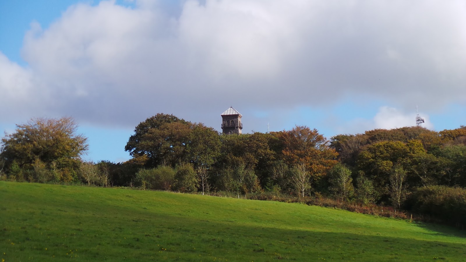
We could see the stately Powderham Castle in the distance, home to the de Courtenay (short-nosed?) family, the Earls of Devon. It's not often that the Norman history intrudes on our Celtic-Roman-Saxon walks and Powderham Castle is a good reminder of the inherited privilege and wealth that still exists in England, having been handed down from generation to generation. It looks like a stunning building and the interior has been used for filming movies like
Remains of the Day.
 |
| Powderham Castle hidden amongst the trees |
The current (18th) Earl of Devon is the Oxford-educated British peer, Hugh Courtney. He got into trouble in 2009, when he refused to let Powederham Castle be used for civil partnerships (state-recognised union of same-sex couples), citing religious objections. This incident led to Powderham Castle losing its license to hold both marriages and civil partnerships. Needless to say, BAM and I strongly disapprove of Lord Devon's narrow-mindedness and we believe in a world where people are shown respect, regardless of their sexual orientation.
Powderham Castle to Starcross (1.2 miles)
Just before Starcross, we joined the even busier A379 - the railway line commands the coastal route at this point and I tried not to feel envious of the railway passengers enjoying the view of the Exe estuary, as we trudged along the inland roadside. I had extremely high hopes for Starcross - not only, did I envisage comely villagers doing star-jumps on the village green to welcome us, but I also imagined balconies full of Shakespearian teenagers, declaring their eternal love. Unfortunately, the reality was a lot shabbier and it seemed as though the most exciting thing happening in Starcross involved mini-golf (although, admittedly, at quite a reasonable rate!).
 |
| But not a whisper of star cross'd lovers! |
Starcross to Dawlish Warren (2.4 miles)
Starcross is the official starting (or ending) point of the Exe Valley Way but, as we'd made it in good time, we decided to extend our walk further south to the next railway station at Dawlish Warren, just opposite Exmouth. Despite it's slightly embarrassing name, Cockwood was a much more picturesque place than Starcross and, as we walked by, we watched holiday-makers enjoying sundowners in the Anchor Inn, beside a small river estuary flowing into the Exe.
 |
| Cockwood village |
We followed a path that runs for another couple of miles alongside the Dawlish Warren road and, even sooner than expected, we were in Dawlish Warren itself, a not-unpleasant seaside resort full of caravan sites and bucket-and-spade shops. As we caught the last rays of summer sunshine, we had time for a leisurely late-afternoon meal, before hopping on the train back to Exeter and on to London.
 |
| The beach at Dawlish Warren |
Access for Wheelchair Users
 |
| Anyone for mini-golf? |
I'm pleased to say that most of this route was accessible for wheelchair users. Certainly, I'd recommend the first few stages from the Exeter quayside to Turf Lock. There are several parallel paths, but a great cycle path which is accessible for wheelchair users or others with limited mobility. As far as I can remember, the bridge that crosses to the Double Locks pub is inaccessible, however, there seemed to be an accessible bridge crossing the canal at the Turf Lock, which would make a sensible end-point for a wheelchair user.
Beyond Turf Lock, the path was obstructed by repair work and inaccessible, but I presume this is a temporary situation. The rest of the walk to Dawlish Warren was accessible, but with lots of road walking/wheelchairing, so watch out for traffic and cyclists!
Image credits:
All photos were taken by me, please feel free to reuse, under the Creative Commons license:
- Attribution (especially to this blog post)
- Share alike
- Non-commercial




.JPG)


