Sunday, February 19, 2017

Caerphilly to Cardiff - Gwyddau a chestyll (digaffein)

It's now six and a half years since myself and BAM (Best Aussie Mate) started walking the Chesters of England and it took a long time for us to realise that there were any chesters in Wales at all, because the Welsh prefix Caer- wasn't immediately obvious to us!

Better late than never, I suppose - Caerphilly and Cardiff clocked up our 43rd and 44th Chesters, respectively and, with only 18 more Chesters to go (although we do keep finding new ones!), we're just over two-thirds of the way through our Chester walking project.

It's quite an adventure going to Wales, both because of the distance, but also because of the subtle cultural shift - we've often experienced the difference between regions in England, particularly when we head up north, but Wales is a different country and that, somehow, made it feeling like we were really travelling abroad!

Because of the nature of the journey (and the price of Friday night train tickets to Cardiff), we changed our usual routine of Friday/Saturday walking, leaving on Saturday instead and doing our Chester walk on the Sunday, which may be a first.

Lodging and victuals

It was pouring down with rain, when we arrived at Caerphilly station on a cold and dark Saturday night at the beginning of February.  Most of the local inhabitants were safely indoors, enjoying some Saturday night telly, or in the local pubs and restaurants, oblivious to our arrival, as we walked through the town, past the gloom of Caerphilly castle and the dark brickwork of the cottages on Bedwas Road.

At the end of Bedwas Road, the Premier Inn Caerphilly Crossways shone like a beacon, guiding us to our evening meal and a good night's sleep!  We were absolutely drenched by the time we got there, but the lady on reception was lovely, as the staff at Premier Inn always are and made no comment on our bedraggled state or the reasons we were abroad on such a dank and miserable evening.

The on-site restaurant at the Premier Inn is called Brewers Fayre and served up a passable evening meal, which saw us through until breakfast the following morning.

Caerphilly Crossways to Caerphilly Castle (1.2 miles/1.9 kilometres)

Luckily the weather improved a lot overnight and, although it was quite cold when we set out from the Premier Inn on Sunday morning, it was dry and the distant view of the mountains motivated us to make our way back along the Bedwas Road towards Caerphilly castle.

There was a local race going on, so the first part of our walk involved dodging some rather exhausted-looking men, women and children, who were doing some kind of circular run, involving the Bedwas Road.  BAM loves a good run, but I must admit that I can't think of anything less appealing that getting up early on a cold Sunday morning, to don the skimpy clothes that runners seem to favour and launch myself into the bracing, winter air for an activity that seems to involve a wholly unnatural challenge for the human physique!  Give me a 13-mile walk to Cardiff over that any day!

The castle in Caerphilly is impressive, although it looked very closed and we had it all to ourselves, apart from a couple of Malaysian tourists and a pack of geese, who were engaged in some kind of goosemageddon!  My abiding memory of Caerphilly is the huge goose-fight we witnessed outside the castle.

Caerphilly Castle

Caerphilly Castle and moat

Goosemageddon
I'm more than a little bit vague on the Romans in Wales, but perhaps my knowledge will increase, as we do more of the Welsh Caers?  I used to think the Romans never made it to Wales, as they never conquered Ireland, but Caerphilly Castle and many of the other castles in the Welsh Chesters we'll visit, is built on the site of a Roman fort, later taken over by the Normans and a succession of English and Welsh families.


Wales does have some spectacular castles and we saw three in total during this walk, which I also think is some kind of record for our Chester walking.

Caerphilly Castle to Craig yr Allt (3.4 miles/5.5 kilometres)

Caerphilly looked very closed on a Sunday morning and, as we made our way up the Mountain Road towards Caerphilly Common, I was getting a bit worried about BAM, as she hadn't yet had her morning coffee, which can be a rather dangerous situation!

Caerphilly Common
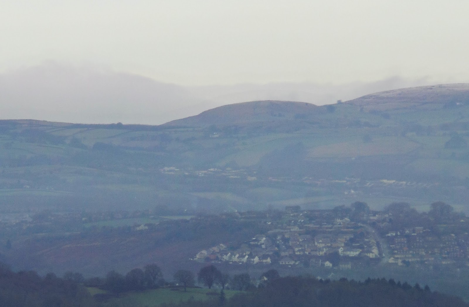
The lack of coffee was made up by the stupendous views from the top of Caerphilly Common - we got talking to a young Welsh couple who do lots of walking the in the local area and they were able to point out the Brecon Beacons at a distance to the north and the Welsh coast and Somerset, far way to the south.

Psalm in Welsh and English

View towards the Brecon Beacons
In my mission to find coffee for BAM, I got us a little bit lost, convincing myself that a distant roadside cafe was the direction we were meant to be going in, rather than completely the wrong direction.  As a result, we spent quite a bit more time wandering around the top of Caerphilly Common than we'd meant to, witnessed some dog-walker rage and eventually found our way onto the Glamorgan Ridgeway, which was the path we wanted to follow across to Craig yr Allt.

View from the top of Caerphilly Common

Countryside around Caerphilly
The views from the top of Craig yr Allt were equally stunning and, as we drifted along the ridge in contemplative (and decaffeinated) silence, I marvelled, not for the first time, at the fact that so few of our Chester walks have brought us anywhere near the mountains.  I can see how attractive the Rhymney Valley must have been to the Romans - close enough to the coast, but hidden behind hills like Craig yr Allt, that separate Cardiff from the Valleys.

BAM on Craig yr Allt

View towards the Bristol Channel and Somerset
Craig yr Allt to Castle Coch (4.8 miles/7.7 kilometres)

I felt quite sorry for the River Taff, squeezed in between industrial estates, as it made its way slowly south towards the sea.  From our vantage point at the top of Craig yr Allt, we also slowly made our way down into the Taff valley, following the river for most of the rest of our route all the way to Cardiff.

Bridge at Taff's Well

BAM revived somewhat, as we sat on a bench on the Taff trail, munching chocolate.  We were a bit behind schedule at this stage, so we resolved to bomb it along the trail, which was now quite clearly signposted and took us into the Fforest Fawr, through a gap in the hills and down to the wonderful Castell Coch. The well-maintained trail made it easy for us to regain some time.

BAM on the Taff Trail
Although the Normans were the first to build a castle on this site, just outside the (difficult to pronounce) village called Tongwynlais, the current castle is very much 19th century, in its Gothic revival style, reminiscent of something from a Hollywood movie.  We didn't go inside the castle, but walked around the grounds a bit, before making our way down to the village below.

Castell Coch front entrance

Castell Coch
Castle Coch to Gabalfa (4.4 miles/7.1 kilometres)

At Tongwynlais, we followed the Iron Bridge road down to the river and then the surprisingly busy path, alongside the river Taff, through Cardiff's outlying suburbs, Whitchurch and Llandaff, all the way to the high-rise apartments in working-class Gabalfa.

The Lewis Arms at Tongwynlais
The river looked like it was in more of a hurry at this point and we passed lots of families with kids, enjoying the late afternoon sunshine and a chance to take the dog for a walk.

The Taff Snail

Attractive building at Whitchurch
Gabalfa to Cardiff Castle (2.5 miles/4 kilometres)

By the time we got to the far end of Bute Park, we were completely mucked up to the eyeballs and in no fit state to stop in at a restaurant in Cardiff city centre.  So we made a pit-stop at the National Express bus station in Sophia Gardens where we got a code for the station toilets, so we could change out of our muddy boots and hiking trousers, into clean shoes and jeans.

High rise buildings at Gabalfa
Footbridge over the river Taff

Unfortunately the men's toilets were out of action, so BAM had to smuggle me into the ladies' loo, where the lights weren't working, so I found myself changing in the dark.  BAM being BAM was very organised and had a head torch to facilitate the transformation from muddy hill-walker to respectable citizen.

The River Taff at Taff Castle (aka Cardiff)
I'm very fond of Cardiff, having been there quite a few times before for work and as a tourist, so it's always lovely to go back and they've done a lot of work to the city centre, making it very attractive to visitors and residents alike.  I have a favourite restaurant there, Giovanni's, so I was able to introduce BAM to the Giovanni experience and their quatro staggioni pizza went down a treat after a cold day in the outdoors!

Cardiff Castle

Cardiff Church Street


Access for wheelchair users


The first part of this walk, on higher ground was pretty inaccessible for wheelchair users, however, the Taff trail looked fairly accessible and it runs all the way from Cardiff to Brecon which, at 55 miles, would make for good multi-day wheelchairing!

Image credits:

All photos were taken by me - please feel free to reuse them under the following Creative Commons license:

- Attribution (especially to this blog post)
- Share-alike
- Non-commercial

Sunday, January 29, 2017

Reculver - Maponimoes, Marshes and a very Merry Christmas!

Reculver marked our second foray into Kent, although both myself and BAM (Best Aussie Mate) have walked on the Kent coast several times with our walking group 'The Odd Weekenders' and we're about to embark on a separate project to walk the Saxon Shore way, which runs 163 miles around the coast (well, mostly!) from Gravesend to Hastings.

I have a real soft spot for Kent, as it was the part of England I first stayed in, when I was working in the strawberry farms around Maidstone, many moons ago.  I always enjoy going back there, although the changing politics of the past few years has made Kent seem more isolated and further away from London than ever!

Lodging and victuals

But Kent isn't that far from London at all - at least when the trains are working!  I'm quite delayed in writing this blog post, so the walk itself took place just before Christmas, which meant my being accompanied on the train, late on a Friday evening, by a very glamorous BAM, who dropped into her work Christmas party, before hoofing it down to Kent with me.

Dilapidated house in the heart of Brexitland (not our hotel!)
There's very little at Reculver, by way of accommodation, so we decided to overnight in Herne Bay instead, staying at the Premier Inn Canterbury North.  BAM is quite fond of the Premier Inn and our Chester walks have seen her rising through the ranks of the Premier Inn's card-holding customers, so she gets all kinds of discounts and special treatments these days. She's like Premier Inn royalty now!

Not intimidated by Her Premier's royal presence, I enjoyed a couple of celebratory Christmas drinks at the hotel's on site restaurant, as we exchanged Christmas gifts and played maponimoes, spreading our European map and flag cards all over the table, in what could only be described as an act of open rebellion in that heart of Brexitland.

Premier Inn Canterbury North to Reculver (3.1 miles/5 kilometres)

We started out bright and early the next day, crossing over the railway line, before turning right onto the Reculver Road, leading all the way down to the coast.

It's an easy walk from Herne Bay to Reculver, along the cliff top at Reculver Country park, you get a wonderful view of Reculver's main attraction, the remains of St Mary's Church, its twin towers rising dramatically above the surrounding landscape, with the waves crashing on the seashore just below.

BAM walking towards Reculver
I feel that Reculver is pushing it a bit, as far as chesters go and it's fair to say that the chester connection is barely noticeable in the modern toponym that the village has carried into the 21st century.  But I can vouch for Reculver's chester credentials, as it was the site of a Roman castrum, which they called Regulbium, which became Raculfcaester and eventually, Reculver.

The twin towers of St Mary's, Reculver

Ruins of St Mary's at Reculver

The current ruins of St Mary's date back to the 12th century and the original Anglo-Saxon church on this site was built in the 7th century, being constructed from stone in the ruins of the Roman castrum. Reculver was an important place, once upon a time and I can't help wondering if it could have ended up being the capital of England, if history had dealt it different cards.

Map of the Kentish coast in Roman times
One of my favourite things at the site is a map which shows what Kent looked like in Roman times. Reculver was surrounded by the sea on several sides, being a port on the Wantsum Channel, an ancient body of water that separated the Isle of Thanet from the rest of England.  The land underneath the Wantsum Channel has now been reclaimed, which explains why the Saxon Shore way, which we were following for the first half of this walk, suddenly turns inland, as it follows the original shoreline, known to Romans and Saxons alike.


All of this got me thinking about the fact that there aren't many European capitals that are on the sea - London, Paris, Berlin, Rome - they're all a safe distance from invading armies!  Reculver would have been a seaside capital, in the tradition of Dublin, Venice, Barcelona and, as we gazed across the empty landscape towards Thanet, I tried to imagine a city of millions spread out in front of me - a kind of, London-by-the-Sea!

Reculver to Grays Farm (1.7 miles/2.8 kilometres)

So far, so familiar territory.  The real adventure was leaving the coast at Reculver and following the Saxon Shore way along the former Wantsum Channel, passing under the railway again and coming up to the road at Grays Farm.

Reclaimed land in the Wantsum Channel
The A299 hurtled beneath us, uninterested in the details of our journey, as these roads rarely are.  It's an impressive road, all the same, and was built in the 1930's as an unemployment relief project, easing the pressure on Canterbury, where previously, all traffic to the Isle of Thanet had to pass through.

The A299 aka The Thanet Way
Grays Farm to Boyden Gate (2.1 miles/3.3 kilometres)

It was a very beautiful walk from Grays Farm to Boyden Gate.  Although it's winter, you could still get a sense of Kent as the Garden of England and we passed through lots of orchards, some of which still had apples on the trees.  Like East Anglia, Kent is surprisingly depopulated and we really felt this in the lonely landscape around the Chislet Marshes, with no sign of human life at all, just the odd farmhouse and lonely trees in the middle of fields.

Lonely road along the edge of Chislet Marshes

Orchard near Boyden Gate
There wasn't much life in Boyden Gate either, but we'll always remember it as the place where we had possibly the most precarious lunch break ever, perched on a collapsed bench at the end of Chapel Lane!  I had a yummy sandwich with turkey and cranberry sauce - a bit extravagant, but in keeping with the Yuletide spirit.

Fallen apples

Bench at Church Lane, Boyden Gate
Boyden Gate to Grove Ferry (1.9 miles/3 kilometres)

From Boyden Gate, we crossed a field leading to the intriguingly named Chitty Lane and continued along the edge of the marshes, over Walmer's Hill, across Island Road and then downhill to the River Stour at Grove Ferry.

Lonely tree on Walmer's Hill

Riverside at Grove Ferry

Grove Ferry looked like a pleasant place, with an attractive riverside pub and we're familiar with the River Stour, having walked along it once before, from Tonbridge to Hever.  There is another Stour in Suffolk, which is where Constable painted the works around Dedham Vale - I've also been there and I can say that Kent's Stour is just as pretty, if not as well-known as its East Anglian cousin.

Swan boat at Grove Ferry
Grove Ferry to Stodmarsh (2.4 miles/3.8 kilometres)

At Grove Ferry we bade farewell to the Saxon Shore way and picked up the Stour Valley way, heading southwest towards the village of Stodmarsh.

This part of the walk was incredibly beautiful and wild - like being in another country really and so far-removed from civilisation.  Stodmarsh is the site of a well-looked after national nature reserve and the bird life was teeming around the marsh and lakes of the Stodmarsh valley.

Stodmarsh valley
Stodmarsh is an incredibly pretty village and there was some kind of service going on in St Mary's Church.  As we sat on a bench in the village green, we watched handsomely dressed young couples, taking their babies and young children for a walk and a break, no doubt, from the tedium of the service.

St Mary's at Stodmarsh

Stodmarsh village sign

Stodmarsh to Fordwich (2.6 miles/4.2 kilometres)

We followed the road from Stodmarsh, all the way to Elbridge Farm, where I bought some apples, depositing my coins in the honesty box.  The path dipped into a field full of cows, which BAM bravely faced, as I stuck to the road, embracing my bovinophobia!

The path through Trenleypark Wood

At Elbridge Farm, we left the road and followed the Stour Valley way through Trenleypark Wood, emerging at the river again, just outside Fordwich, yet another pretty little village.

We had a lovely meal at the George and Dragon in Fordwich, splashing out on mains, drinks and dessert (must have been the Christmas spirit!) before crossing the river to Sturry, where we picked up our early evening train back to London.

Access for Wheelchair users


Country road near Chislet
The way between Herne Bay and Reculver is pretty accessible and a lovely route to follow.  The former Wantsum Channel is pretty inaccessible, however the roads around Grays Farm, Boyden Gate and Chislet would make for very good wheelchairing.

The Stour valley path is pretty inaccessible to wheelchair users on the Grove Ferry side and the Stodmarsh Road is quite busy, so I wouldn't recommend it, although a visit to Stodmarsh would be worthwhile and the Stour Valley path from Stodmarsh is accessible to a certain point - it could make a nice round trip from the village.  

Image credits:

All photos were taken by me - please feel free to reuse them under the following Creative Commons license:

- Attribution (especially to this blog post)
- Share-alike

- Non-commercial

Sunday, November 13, 2016

Chesterblade - Sheep, Steam Engines and Squaddies

Almost a month has passed since we set off on our weekend adventure to Somerset, in pursuit of yet another Chester, this time Chesterblade, a hamlet just a few miles south of Shepton Mallet, the main town in the Mendip hills.

This was our second trip to Somerset, having visited the more famous Roman settlement of Ilchester in April 2014.  As with our last trip to Somerset, it was more convenient to get the bus than the train, so we found ourselves at Hammersmith bus station, after work on Friday evening, queuing up eagerly for Berry's coaches and our great journey to the West!

We've become very fond of Berry's coaches - the staff are really friendly and the bus driver kept us entertained as we trundled through the dark and barren landscape of Salisbury Plain.  We arrived in Shepton Mallet around 9pm and then followed the High Street towards the busy Bath Road and our accommodation at Mendip Lodge campsite.

Shepton Mallet High Street


Lodgings and victuals

I've stayed in yurts before, when I travelled to Mongolia in 2015, so I was quite excited to stay in a yurt again, but this time in England.  Mendip Lodge campsite was very quiet, because of the time of year, so there weren't actually any campers (quite cold to be in a tent).  We had some difficulty finding it in the dark, but the friendly owner, Maureen, guided us by phone until we found the entrance to the farm and our lodging for the night.

Candlelit lanterns at the yurt in Shepton Mallet
Maureen's husband Colin had prepared a fire in the yurt's stove, so it was very cosy when we arrived and the yurt looked absolutely magical in the flickering candle light.  We didn't have any victuals, as such, as we'd both eaten earlier, but we shared a bottle of wine and caught up on our respective lives, before preparing our beds and settling in for a good night's sleep.

Shepton Mallet inside the yurt
We absolutely loved the yurt, although it's by a busy road, so not as tranquil as we imagined it would be.  Yet, waking up in the morning, with late autumn sunlight streaming through the top 'window', then preparing breakfast in the nearby kitchen - it was a great adventure and brought us close to nature, whilst maintaining a level of comfort that is important at this time of the year!

Shepton Mallet yurt
Mendip Lodge campsite to Newman Street Farm (2.6 miles/4.2 kilometres)

We set out on our walk directly from the campsite - picking up a public footpath that brought us into a field which had some cows, lurking menacingly in the distance.  Rather than engage with the cows, we followed the footpath to Yellingmill Lane, then followed this lane way until it met up with Bolter's Lane.  We could see Beacon Hill and the Mendips, not far to the north, but we turned off Bolter's Lane at the curiously named Wagon and Horses Hill, before following the King's Road and then turning off on a track leading to Newman Street Farm.

Farmhouse near Shepton Mallet
Our path crossed the Fosse Way, a major Roman road from Exeter to Lincoln and one we've met, not only in Ilchester, but also in Leicester, when we walked there precisely four years ago.  The name fosse comes from the Roman word for ditch and it is little more than a track now, so it was barely noticeable, as we focused on the route I'd mapped out on my Ordnance Survey app.

Somerset countryside
As we walked, we talked about the recent visit of BAM (Best Aussie Mate)'s relatives from Australia and how wonderful it was to spend time with them.  Australia seemed like a very long way away, as we turned down the King's Road, with a picturesque corner of Somerset spread out in front of us and grey clouds scuttling overhead.

Sign post for East Mendip way
Newman Street Farm to Cranmore (3 miles/4.8 kilometres)

At Newman Street Farm we picked up the eastern part of the Mendip Way, a 50-mile walk from Weston-super-Mare to Frome.  We spoke briefly with a very friendly farmer at Temple House Farm, who pointed us in the right direction and we crossed a small lane and headed up along a slight incline in the direction of Cranmore Tower, a 19th-century folly, that was built on the site of a Roman settlement.

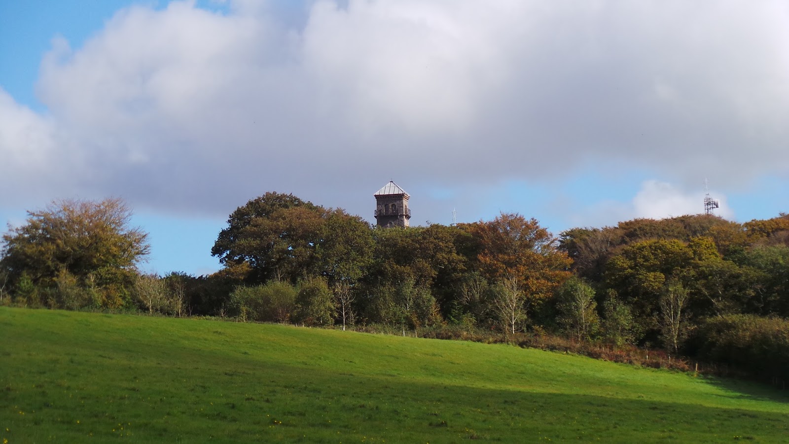
View towards Cranmore Tower

We didn't actually make it to the tower, as our path turned downhill again, along Dallimore Lane (more of a ditch really) to reach the houses at Dean, on the busy A361 road, the longest three-digit A road in the country.  As I have my fear of cows, so BAM has her fear of walking along busy roads, so it took a little bit of persuasion to get her to follow the A361 for 50 metres, until we picked up another public footpath on the far side of the road, which led us over a small hill, through a field, until we reached the village of Cranmore.

Walking towards Cranmore
Cranmore to Chesterblade (1.7 miles/2.7 kilometres)

We had a rather pleasant lunch in the churchyard of St Bartholomew's at Cranmore.  The name Cranmore means 'crane lake'.  We didn't see any cranes as we ate our lunch, but we could hear the huffing and puffing of the East Somerset steam railway, not far from the church.  By the time we'd finished our lunch and made it to Cranmore Station, the steam engine had vanished, like an illusion and we were left standing on the bridge, peering into the distance and wondering whether or not it had all been a figment of our imaginations, or a ghostly echo of times past.

St Bartholomew's Church in Cranmore
Cranmore railway station
From Cranmore, we followed the country lanes to Chesterblade and had another quick break in the churchyard of St Mary's Church, a very still and tranquil place that has a long history stretching back to the 12th century.

St Mary's Church in Chesterblade
Tree in churchyard of St Mary's Chesterblade
Chesterblade is one of the smallest Chesters we've ever visited and it seemed like a pleasant enough place, although there wasn't much going on there.

Commandment on Church wall in Chesterblade
Sign post for Evercreech
Chesterblade to Chelynch (3.2 miles/5.1 kilometres)

From St Mary's Church, we headed downhill along the Chesterblade Road, in the direction of Evercreech.  Less than a half a mile down the road, we reached the floor of a very small valley, where we looked for an ill-defined public footpath, taking us through some wildly overgrown fields until we reached Holcombe Farm and Holcombe Lane.

Countryside near Chesterblade
As we followed Holcombe Lane, across Brottens Road and under the railway bridge along Merryfield Lane, I told BAM all about my latest writing project.  We paused all conversation, as we carefully crossed the A361 again and made our way to Chelynch village.

Chelynch to Shepton Mallet (2.4 miles/3.9 kilometres)

At Chelynch, we picked up the Mendip Way again and followed this all the way back to Shepton Mallet, over Ingsdons Hill, where we could see Glastonbury Tor in the distance.  Not surprisingly, given its name, Shepton Mallet was famous for its wool industry, although we didn't see any sheep on our walk, just another herd of cows, who huddled in the corner of their field and looked at us wearily, as the rain came on.

View towards Glastonbury Tor
By the time we got to the railway viaduct at Shepton Mallet, it was raining heavily and we were keen to get back to our yurt and into some dry clothes before heading out for dinner. Someone stopped us in the street in Shepton Mallet to have a chat about life, travel and Northern Ireland, which would have been lovely, except for the fact he was quite drunk and it was raining heavily.

BAM walking towards Shepton Mallet
We also saw three rather drunken squaddies, getting soaked, as they were wearing only T-Shirts, but happily singing their way through a damp late afternoon, as they queued at the Co-op ATM, getting more money out to continue their revelry.

Myself and BAM had a rather less raucous, but arguably more pleasant evening, stuffing ourselves at Blostin's - a slightly expensive, but endearing restaurant on Waterloo Road.

115 miles to London
Access for wheelchair users
Sign post for Batcombe

The country roads and lanes around Shepton Mallet are fairly traffic-free, but this walk, in its entirety, would not be practical for a wheelchair user.  Probably the most interesting route for a wheelchair user would be from Chesterblade to Evercreech, then along Holcombe Lane and Merryfield Lane to Chelynch, although crossing the A361 might be a bit of a challenge.  

Image credits:

All photos were taken by me - please feel free to reuse them under the following Creative Commons license:

Attribution (especially to this blog post)
Share-alike
Non-commercial