
Lodgings
We decided not to stay in Wellingborough, but further out in the countryside, in a small village called Chelveston, so we could walk back towards 'civilisation' the following day. Middle Farm Villa BnB was a lovely place to stay and we were given a nice welcome by the owners.
 |
| Middle Farm Villa BnB, Chelveston |
After dropping our bags off, we headed across the road to the village pub, The Star and Garter, for a swift drink and a chance to sample local life! The locals seemed really friendly and we got involved in a weekly draw, based on the 80's TV show, Play your cards right, where you have to guess whether or not the next card is going to be higher or lower than the one before.
 |
| The Star and Garter in Chelveston |
Luckily for us, we didn't get chosen to participate - I think being thrust in the limelight, as complete strangers, would have been too much for BAM (Best Aussie Mate). The three participants who were chosen failed to guess correctly, so the jackpot has rolled on until next week.
Walk disclaimer
This had to be one of the most difficult walks we've ever done and, unfortunately, I wouldn't really recommend it - at least not right now! There has been a lot of rain in England this summer and the East Midlands are particularly susceptible to flooding, the Nene valley being no exception. What's more, the 'Recreational Walk', the Nene Way, is badly maintained, being completely overgrown in some parts and blocked off on others. Perhaps there will be in improvements in the future, but right now, it's not passable.
Chelveston to Stanwick Lakes (1.6 miles/2.6 km)
We set off early from Chelveston, walking along Water Lane, we discussed the passion and enthusiasm of Peter Garret from Midnight Oil before turning onto a small public footpath leading through a wheat field. BAM told me about an incident involving her kayaking club in East London, due to current overcrowding on the Thames and we discussed the concept of 'Right of Way' - how it has more or less been protected on land, but is very difficult to enforce on water.
 |
| Path through wheat field leading off Water Lane, Chelveston |
 |
| Field beside Chelveston Lodge |
We continued following the path along the bottom of some fields, past a farm called Chelveston Lodge and, eventually, we came out onto Stanwick Road. Another effect of the recent rains has been an explosion of plant growth - I've never seen the English countryside looking so green, it's almost as green as Ireland! Also, the nettles and thistles are thriving, so we got stung and scratched a lot, as we climbed through hedgerows and walked along the field edges. The weather was fantastic for a change and it was so lovely to be outdoors enjoying the sunshine, even if we were looking a little bit burnt at the end of the walk!
 |
| Hedgerow on Stanwick Road |
Crossing Stanwick Road, we walked through a couple of fields, before crossing the A45 to reach Stanwick Lakes.
Stanwick Lakes to Irthlingborough (1.8 miles/2.9 km)
Stanwick Lakes is a lovely area full of fishing ponds. The Nene valley had lots of ironstone and gravel deposits, so the river valley has been heavily quarried in the past and the former quarries have filled with water, creating a series of artificial lakes. Stanwick Lakes has recently been designated a country park and I'm sure that it's normally a lovely place to visit but, because of the floods, we found that the paths we wanted to follow were completely inundated. Unfortunately, after twenty minutes or so of wading knee-deep through water, we had to backtrack to the A45 and walk along the verge to a roundabout, where we picked up a smaller road leading to Irthlingborough.
 |
| BAM on path in Stanwick Lakes |
 |
| It's a nice spot to do some fishing! |
It's never pleasant walking on roadside verges and the A45 is quite a busy road, linking Northampton to the A14. Turning down Station Road, we passed a Scrap merchant and a caravan park before picking up the Nene Way, just opposite the Nene park Industrial Estate. Walking along the upper end of a field, we passed some beautiful old buildings at Nene View, then followed a back lane, which runs behind the village, until we came to St Peter's Church.
 |
| St Peter's Church in Irthlingborough |
 |
| Irthlingborough High Street |
The next part of the walk was probably the most beautiful, heading downhill from St Peter's Church, through the water-meadows of the Nene Valley. The path was completely water-logged in parts, but manageable. The Nene Way follows a dismantled railway line at this point, which used to run trains between Northampton and Peterborough, but was closed down in 1964. As the path hooks around Station Road, we lost it again, whether because it's overgrown or has disappeared under the water, so we made our way back up to Station Road, back to the roundabout at the A45!
 |
| Water-logged path |
 |
| Dismantled railway line |
We followed the A45 for a little bit, before picking up the Nene Way again at a pedestrian flyover leading to the village of Higham Ferrars. The walk into Higham was lovely, along a back street, past the ruins of the castle and Chichele College. Higham had a nice 'feel' about it and I'd imagine it's a lovely place to live. BAM got momentarily fixated on the fact that the flat above the Sweet Shop was for rent, but I managed to snap her out of her reverie and remind her of London and responsibilities!
 |
| River Nene with sky reflected |
 |
| Street corner in Higham Ferrers |
Higham Ferrers to The Sewage Works (1 mile/1.6 km)
The next part of the walk was well sign-posted, from Higham Ferrers downhill, crossing a pedestrian bridge over the A45 to the Higham Ferrers nature reserve. We continued following a clear foot path through the reserve until we came to the grounds of a local Sewage Works, where we came completely unstuck! Whether the Nene Way had completely disappeared under the water at this point, or it had been blocked off, wasn't really clear, but we came to a dead end, as soon as we crossed a footbridge over a weir and ran into the Sewage Works fence. Our problem-solving skills were called into action, so we studied the map and managed to find an alternative detour around the back of the Sewage Works and back on to the Nene Way at Ditchford Bridge.
 |
| River doesn't look very healthy? |
 |
| River Nene with A45 running alongside |
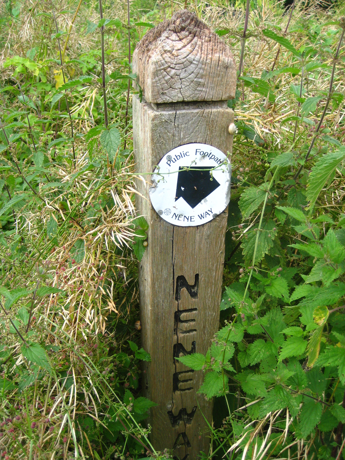 |
| Sign post for Nene Way overgrown with nettles! |
Detour: The Sewage Works to Ditchford Bridge (2.3 miles/3.7 km)
This was probably the hardest part of our walk, as we tiptoed across a dilapidated railway bridge and hacked our way through dense undergrowth beside a disused pit, whilst being dive-bombed by particularly nasty mosquitoes - it felt like we'd suddenly been transported to the Thai jungle! There was no defined path, so it was quite a physical challenge to get out of the nature reserve and back towards civilisation. By the time we stumbled onto the shockingly suburban Lodge Way, we looked like survivors of a jungle expedition gone wrong. BAM noted that it's probably the closest we'll get to experiencing I'm a Celebrity . . . and I think that's a good thing too!
 |
| Dismantled railway bridge near Sewage works |
Walking along the Wellingborough Road was really unpleasant, with cars speeding past us recklessly, we stumbled along the verge, kicking up crushed beer cans and other random bits of rubbish. Eventually, we came to a cross-roads and turned down the slightly less offensive Ditchford Road, until we rejoined the Nene Way at Ditchford Bridge.
Ditchford Bridge to Wellingborough Station (2.1 miles/3.4 km)
The next part of the walk was a pleasant stroll through water-meadows, under a lovely railway viaduct until we reached a footbridge leading to Irchester. Unfortunately, this was to be our conclusive disappointment of the day, as the footbridge has been closed by the local authority, for Health and Safety reasons, which meant we had to miss Irchester altogether and find another way out of the water meadows, so we would get back to Wellingborough Station in time to catch our train back to London. It was a shame to miss Irchester and walk through the country park but, as geography, time and the local authority were conspiring against us, we had to settle for a distant view of Irchester church and the site of the old Roman settlement on the other side of the river!
 |
| Railway viaduct with horses |
 |
| Closed-off footbridge leading to Irchester |
Access for Wheelchair Users
 |
| One of the many obstacles for Wheelchair Users |
Unfortunately, a metal kissing gate on the pedestrian flyover blocks access for wheelchair users hoping to go to Higham Ferrers, however, an alternative might be to follow a cycle path from the other side of Station Road which runs all the way to Thrapston. We didn't follow this route though, so I can't really recommend it.
Image credits:
All photos were taken by me, please feel free to reuse, under the Creative Commons license:
- Attribution (especially to this blog post)
- Share alike
- Non-commercial