 |
| Mosaic in Chester amphitheatre |
I'd only ever been in Chester railway station - not the city itself - many moons ago when, as a student, I use to make the arduous journey by boat and rail, between Dublin and London. This was in the days before budget airlines and, whilst it seems like an epic journey by 21st century standards, it was quite a common way to do things in the early 1990's.
 |
| Chester castle walls |
Lodging and victuals
We were incredibly lucky in our choice of accommodation in Chester, as we arrived quite late on a Friday evening, battling through the wind and rain to find ourselves at the Albion Inn on Park Street, just inside the city walls. The innkeepers, Christina and Mike Mercer gave us a really warm welcome, as we dropped our bags in the room, had a drink at the bar and listened to the live music - they even played Waltzing Mathilda to welcome BAM, which was really sweet!
Chester city walls circuit (2 miles/3.2 kilometres)
As it's winter, we planned a shorter walk than usual, so we would have time to explore Chester a little bit and make the most of the limited hours of winter sunshine. We had quite a late start and a leisurely breakfast, before setting off around the walls, a two-mile circuit around the city centre. I must admit, I was pleasantly surprised by Chester - I'd heard about the city walls before, but I hadn't expected it to be so quaint. The city was full of pre-Christmas shoppers, which added an extra buzz to the city's Saturday morning hustle and bustle.
 |
| Chester and the River Dee |

 |
| Chester city walls |
 |
| Christmas shoppers on Northgate Street |
Aldford to the Iron Bridge (0.4 miles/0.6 kilometres)
We had a few different options for our Chester walk, including a path starting in Wales, which was tempting but, in the end, we decided to follow the path closest to Chester's Roman heritage - near the remains of Watling street, along the River Dee from Aldford to Chester.
This path is part of the Marches way, a 218-mile path through the Welsh 'marches', all the way from Chester to Cardiff. It's hard to imagine Roman soldiers marching along in this, rather quiet, corner of West Cheshire!
 |
| Trees on Blobb Hill, Aldford |
Christina Mercer, the landlady of the Albion Inn, very kindly offered us a lift to the start of our walk at St John's Church in Aldford. Not only did she save us a lot of time, but she also personalised the whole experience by telling us about her father, who trained horses and worked for the Duke of Westminster at the nearby Grosvenor estate.
From the village it's a short walk across Blobb Hill to reach the River Dee, which you can cross by way of Telford's Iron bridge. We've come across Telford before, as he was an important engineer in the West Midlands and designed the main road linking London and Dublin, via Holyhead. He also designed bridges and canals and you can read more about him in my blog post on Wroxeter, Shropshire. There was a lot about this walk that reminded us of Shropshire and Shrewsbury.
The River Dee gets it's name from the Latin for Chester, Deva Victrix which means something like 'Victorious Goddess' - it flows all the way from Snowdonia to the Irish Sea at Liverpool bay.
 |
| Aldford Iron Bridge |
 |
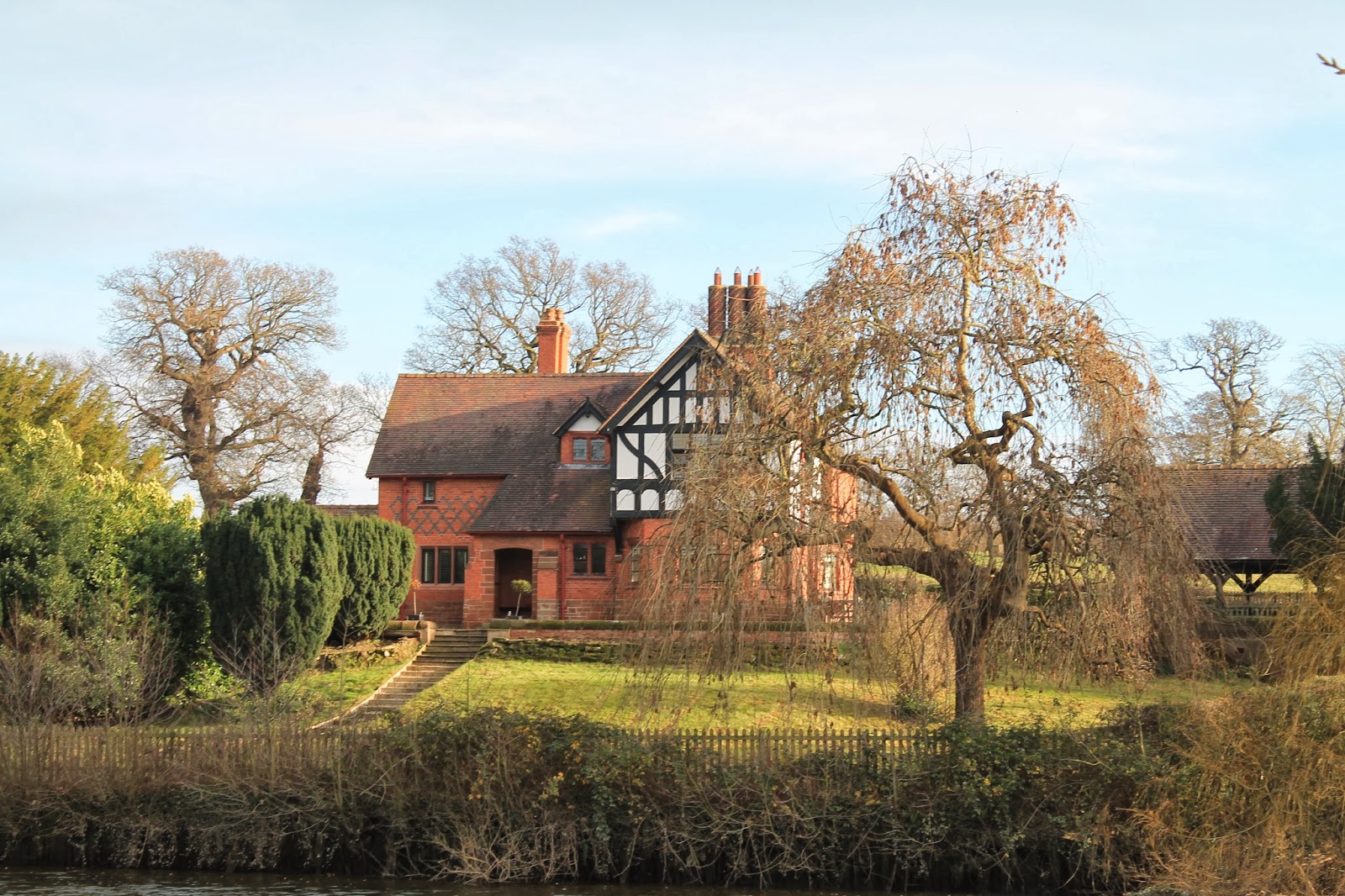
| Iron Bridge Lodge |
Alford Iron Bridge to Eaton Stud (1 mile/1.6 kilometres)
These days, the path along the River Dee is a rather peaceful one - road, rail, the 21st century are all quite far away and we found ourselves getting lost in the splendour of the natural colours and a discussion on the Impressionist painters of the 19th century. I've been to the Rijksmuseum in Amsterdam recently and I was surprised to find out that the invention of the 'paint tube' in the 1840's meant that artists could leave the studio more and paint en plein air. This revolutionised art in the 19th century and enabled the Impressionists to create their masterpieces of speckled sunshine and mottled light.
The mid-winter light on the River Dee was certainly very inspiring and we were lucky to have great weather for walking - cold and sunny, as we made our way around the edge of the Grosvenor estate.
 |
| River Dee at Aldford Bridge |
 |
| Suitably impressed by nature |
 |
| Glimpse of the Grosvenor estate |
Eaton stud to Eccleston (0.7 miles/1.2 kilometres)
We couldn't see much of Eaton Hall or the Duke of Westminster's estate, as we were passing by, until we came to the village of Eccleston, which lies on the estate grounds and has a really beautiful church, St. Mary's, where members of the Grosvenor family are traditionally buried.
The current Duke of Westminster, Gerald Cavendish Grosvenor, was born in Omagh, Country Tyrone, where my Mum used to live. He spent most of his early childhood in County Fermanagh, Northern Ireland and he's the sixth person to hold the title Duke of Westminster.
 |
| View of Eccleston village, Cheshire |
Gerald frequently appears in the top ten of the Sunday Times Rich list and has a fortune estimated at around £8 billion. Ironically, he's one of the few British-born rich people on the UK's 'rich list' - the majority of the UK's top ten richest people are Russian/Indian/Uzbek oligarchs!
 |
| BAM walking to St Mary's Church, Eccleston |
Grosvenor is a Norman name and comes from the French for 'big hunter', le gros veneur. The Grosvenor family also own property in Mayfair - which is where Grosvenor Square, site of the US embassy in London, get its name. I guess, in some esoteric way, the Grosvenor family have always managed the relationship between England and her neighbours to the west!
 |
| Generations of Grosvenors are buried at St Mary's Church in Eccleston |
Eccleston to Heronbridge (1 mile/1.6 kilometres)
It's another uneventful mile from Eccleston to Heronbridge, which is on the boundary of Chester's Roman settlement. The walking path passes under the A55, also known as 'the North Wales expressway' - a major road linking Chester to Holyhead (and onwards to Ireland).
 |
| Interesting rock walls near Heronbridge |
Heronbridge to Chester (2 miles/3.2 kilometres)
From Heronbridge, the path follows a loop in the River Dee around Queen's Park and into the city of Chester. There doesn't seem to be too much on the left-bank of the River Dee, so we concentrated on the ornate buildings on the other side of the river, in Boughton, Chester's eastern suburb.
 |
| View of Boughton from Queen's Park, Chester |
We finished our walk by crossing the pedestrian bridge, which leads to the site of the Roman amphitheatre. We were both very impressed with Chester and would like to go back again, to explore the city a little bit more.
 |
| Queen's Park pedestrian bridge in Chester |
 |
| Path along muddy river bank |
The path from Aldford to Heronbridge is along the riverside and completely inaccessible. For wheelchair users, I would recommend Chester itself, as the city is small and easy to get around - some parts of the city walls seemed to be more-or-less accessible.
Also, Queen's Park, which occupies a bend in the River Dee, had accessible paths, although one end was closed off by a gate when we were there.
Image credits:
All photos were taken by me - please feel free to reuse them under the following Creative Commons license:
Attribution (especially to this blog post)
Share-alike
Non-commercial


