
In Roman times, Gloucester was called Colonia Nervia Glevensium or Glevum for short. The origin of this name is a bit obscure, but it might come from a Celtic word for 'bright place' (sounds suspiciously like the Germanic word glow - which makes me think there may have been some obfuscation of the meaning down through the years).
 |
| Glevum - the Roman name for Gloucester |
 |
| The Museum of Gloucester on Brunswick Road |
It wasn't very bright when we arrived off the train around 9pm on a Friday evening in August and it was difficult to get a sense of the place, as we made our way along Brunswick Road towards the Travelodge, our destination for the evening. We managed to have a half-decent meal at The Lord High Constable of England in Gloucester Quays, run by the Wetherspoons chain and the pub was packed with the Friday night crowd - a friendly buzz of conversation, laughter and background music.
 |
| Gloucester Quays - the place to be on Friday nights! |
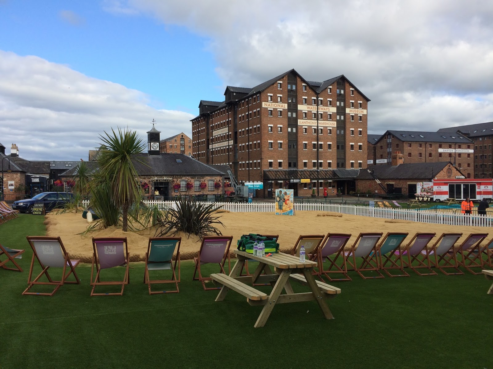 |
| The artificial beach on Gloucester Quays |
We decided to have breakfast in Bill's Gloucester Quays, which was nothing less than sensational! Purely by coincidence, I had been in the original Bill's in Lewes the week before and I'm quite interested in Bill's story and how this restaurant chain has become so successful - not to mention the fact that their food is amazing!
 |
| Breakfast at Bill's in Gloucester Quays |
Mitcheldean to May Hill (3.3 miles/5.3 kilometres)
We decided to start in the country and walk back to Gloucester, both for the satisfaction of having a sense of destination, but also for the convenience of being able to jump on a train afterward, for the journey back to London.
Getting to Mitcheldean was a bit of an adventure though - unfortunately, the bus times from Gloucester to Mitcheldean have changed recently, but the website I was looking at hadn't been updated, so we missed our bus by about five minutes and ended up catching a taxi to Mitcheldean instead.
 |
| Mitcheldean in Gloucestershire |
I don't think we'd walked on the Wysis Way before and it's a handy 55-mile link between the Offa's Dyke path and the Thames Way.
As we left Mitcheldean on a small road which passed the Business Village, we had an interesting debate on the responsibility of governments to provide decent broadband and I was trying to convince BAM that we're living in a first-world economy with third-world Internet connections.
 |
| View from May Hill Farm |
The highlight of the walk was reaching the top of May Hill, not the biggest hill in the world, at 296 metres, but with fantastic views across to the Wye Valley and the distant hills of Wales to the West, as well as a stunning view of the River Severn, wending its way to the south. I'd like to return to May Hill on May 1st, as apparently they have Morris dancing on top of the hill every year!
 |
| May Hill - view towards Wales |
 |
| May Hill - old signpost |
 |
| Trig on the top of May Hill |
From May Hill, it was an easy path down towards May Hill village, then a very quiet path through Newent Woods, where we met a rather rugged man, who was carrying a sawn-off piece of tree. We stopped to talk to him and he showed us the rings on the bark, which he was going to use to calculate the age of the tree.
There is a rather lovely-looking pub at Glasshouses called The Glasshouse Inn, after which we followed the least well-marked section of the entire walk, through Castle Hill Wood, past a small lake hidden in the depths of the Gloucestershire jungle!
 |
| The Glasshouse Inn |
It's hard to write this in September and realise how hot the weather was, just over a month ago but, by the time we got to Tibberton, I was starting to feel a bit dehydrated, so it was lovely to sit in the churchyard at Tibberton Court and have a little rest , about halfway through the walk.
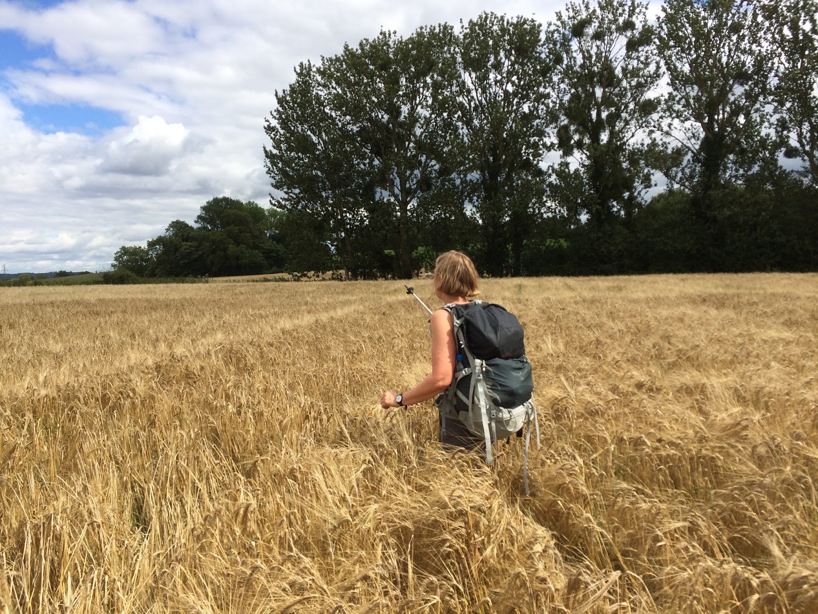 |
| BAM negotiating the fields around Tibberton |
 |
| Holy Trinity Church at Tibberton |
I have to say, the people of Tibberton weren't particularly welcoming, especially when we missed the signpost for the Wysis Way in Orchard Rise and got told off by a rather obese lady, who had been enjoying the sunshine in her back garden, until we appeared on a lane between houses, trying to get back onto the path again.
After Tibberton the path disappeared completely into a field of crop and we almost got scratched to death making our way to an eerie cluster of buildings called Bovone, the kind of place that looks like it could feature in an American movie about serial killers!
At Bridge Farm, we crossed the road and joined a disused railway track, which is now part of the Three Choirs Way - a path we walked on before, when we were visiting Worcester back in 2012. It was an easy path and not too many cows between Bridge Farm and the medieval village of Lassington.
 |
| Disused railway line, now part of the Three Choirs Way |
There is nice view of Gloucester and the Severn Valley from the north side of Lassington Hill, then a complicated route downhill through a small wood and out onto the main road at Over. From Over, we followed local footpaths all the way the Gloucester.
 |
| Train near Over |
 |
| Street Art in Gloucester |
 |
| Field edge near Taynton |
Very little of this walk would be recommended to wheelchair users - but there are plenty of interesting and accessible paths around Gloucester. I would also recommend a return trip to May Hill from Glasshouses, all of which could be done by using small roads.
There is a small road that runs from Glasshouses to Tibberton, pretty much parallel with the Wysis Way, but you should only use roads at your own risk and I couldn't really recommend this.
Image credits:
All images were taken by me - please feel free to reuse them under the Creative commons license:
Attribution (especially to this blog)
Share alike
Non-commercial
No comments:
Post a Comment